Esri ArcGIS Features Kinetic Analysis!
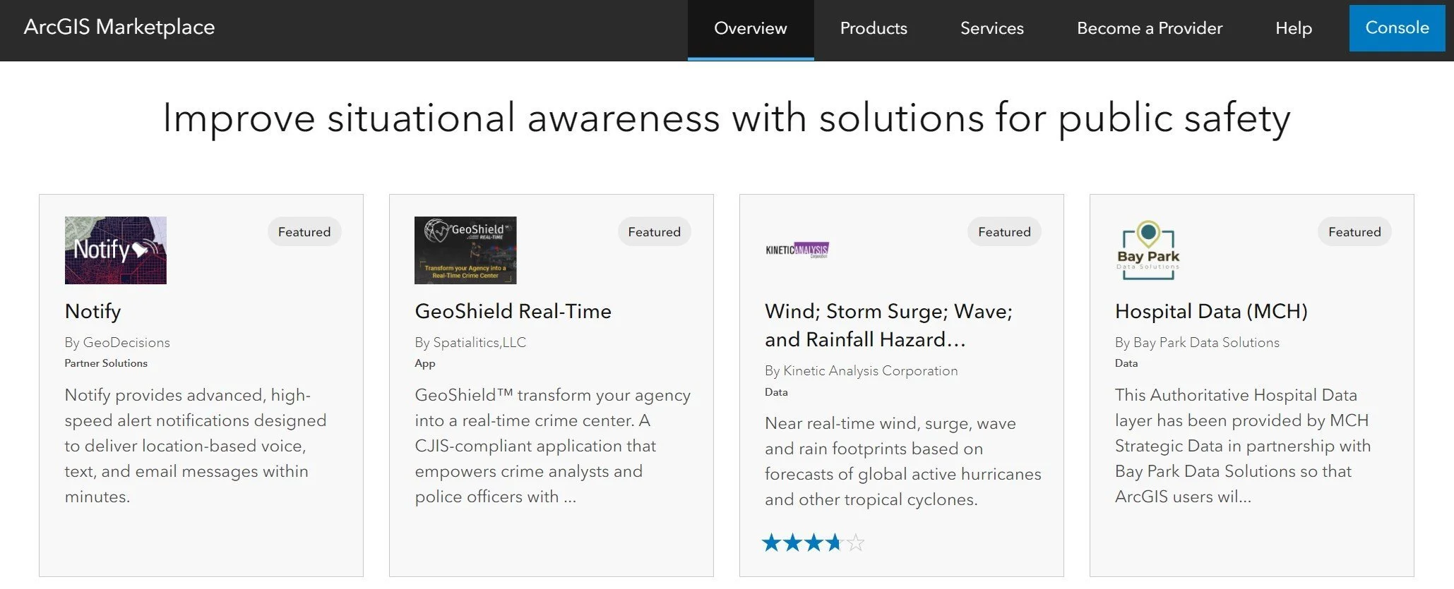
We are excited to announce that Esri ArcGIS has featured Kinetic Analysis’ Real-Time Tropical Cyclone Hazards Data on its Marketplace homepage! With only 16 listings chosen per quarter, our data joins a roster of highlighted partners for the entire financial quarter ahead.
Kinetic Analysis is certified as an ArcGIS System Ready Specialty partner, meaning that our data is compatible with and designed for the most comprehensive, up-to-date ArcGIS system versions. In addition to our featured listing (detailed wind, storm surge, wave, rain, and other hazard footprints for all active tropical cyclones and hurricanes), we also provide the option to get that data for historical storms of your choice on the ArcGIS Marketplace.
To learn more about licensing options and prepare for a new year of hurricanes and emergency management, please contact us at dchao@kinanco.com. Extreme weather events are rising in frequency and intensity with climate change, but that doesn't mean we can't do anything about them. Let us help you get one step closer to climate resiliency.